How Does a Land Surveyor Determine Property Boundaries?

When it comes to property ownership, understanding where your land begins and ends is essential. A land surveyor MA plays a crucial role in accurately determining these boundaries. This blog will explore the methods and techniques used by land surveyors to establish property lines, ensuring clarity and peace of mind for homeowners and real estate professionals alike.
Understanding Property Boundaries
Property boundaries are the invisible lines that define the extent of ownership. They are essential for various reasons, such as resolving disputes, establishing rights, and planning construction projects. However, these boundaries are not always clearly marked, making it vital to rely on professional expertise.
Gathering Historical Data
Before any measurements are taken, a land surveyor begins by gathering historical data related to the property. This information may include old surveys, title deeds, and other legal documents. These documents provide a foundation for understanding the property’s history and previous boundary definitions. By analyzing this data, the surveyor can determine the original property lines and identify any potential discrepancies over the years.
Conducting a Field Survey
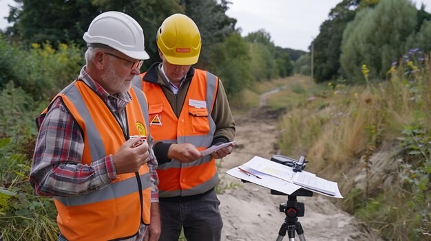
Once the historical data is collected, the land surveyor will conduct a field survey. This step involves visiting the property to take precise measurements using specialized tools and equipment. Tools such as total stations, GPS devices, and leveling instruments help surveyors achieve high accuracy in their measurements. During the field survey, the land surveyor looks for existing markers, such as fences, trees, or stones, which might indicate the boundaries.
Establishing Reference Points
To accurately define property lines, land surveyors establish reference points on the property. These points act as fixed locations that help in determining the layout of the land. Surveyors often create a grid system to map out the area systematically. By establishing these reference points, they can ensure that all measurements are consistent and reliable.
Using Modern Technology
Modern land surveying techniques often involve advanced technology. Geographic Information Systems (GIS) and computer-aided design (CAD) software allow land surveyors to create detailed maps and visual representations of property boundaries. These technologies enhance precision and make it easier to analyze complex data. Additionally, drones are increasingly being used to capture aerial images of large properties, providing a comprehensive view of the land.
Communicating Findings
Once the measurements and data collection are complete, the land surveyor prepares a detailed report outlining the property boundaries. This report typically includes maps, photographs, and a written description of the property lines. Effective communication of these findings is crucial, as they may be needed for legal documents, building permits, or resolving disputes. A professional land surveyor will ensure that the information is clear and accessible to all parties involved.
The Importance of Accurate Boundaries
Accurate property boundaries are essential for preventing disputes and ensuring compliance with local regulations. When boundaries are unclear, it can lead to legal issues, such as trespassing claims or disputes with neighbors. A land surveyor helps mitigate these risks by providing precise measurements and clear documentation of property lines.
Ending Note:
A land surveyor Massachusetts plays a vital role in determining property boundaries through a combination of historical research, field surveys, technology, and effective communication. Their expertise not only helps property owners understand their land but also prevents disputes and ensures compliance with regulations. When working on property matters, it’s always wise to rely on a qualified land surveyor to provide accurate and trustworthy information about property boundaries.


